
PM Andrew Holness receives Esri President’s Award for Jamaica’s GIS Innovation
The award recognises Jamaica's use of Geographic Information Systems to strengthen disaster response, public planning and evidence-based decision-making through an integrated national geospatial infrastructure.
14th of July 2026
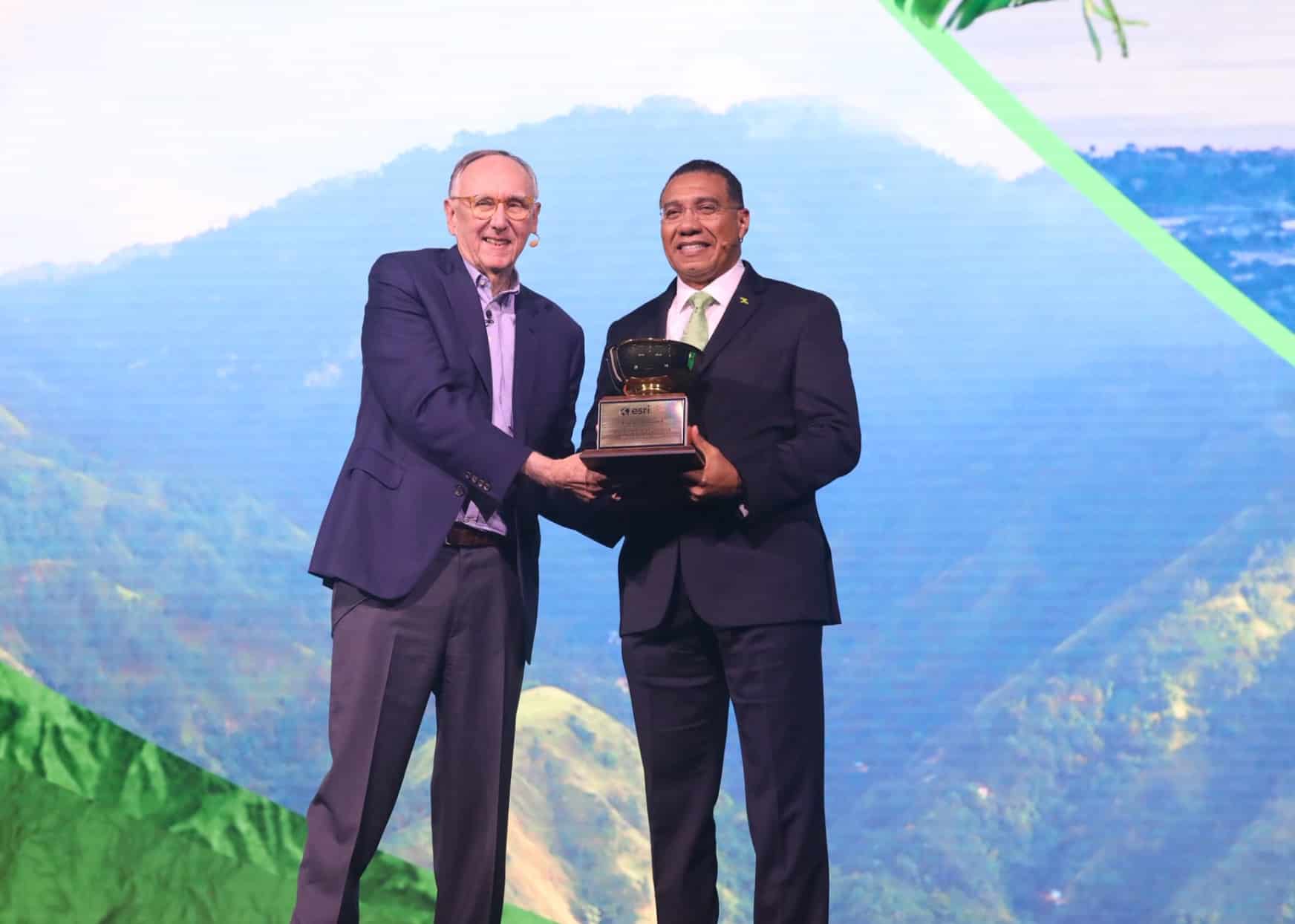
Jamaica: Prime Minister Andrew Holness has received the 2026 Esri President’s Award on behalf of the Government of Jamaica in recognition of the country’s leadership in using Geographic Information Systems (GIS) to improve public planning, disaster preparedness and data-driven governance.
The award was presented to PM Holness during the 2026 Esri User Conference in San Diego, California. Jamaica was recognised for its development of an integrated national geospatial infrastructure and its use of GIS technology to support data-driven governance.
“I’m deeply honored to accept this recognition on behalf of the people of Jamaica, the public officers of Jamaica who are here, our emergency responders, our GIS professionals, our community volunteers and our international partners,” he said while accepting the award.
He also talked about the impact of Hurricane Mellisa and said that because of years of pragmatic diplomacy, “our friends were many in our time of crisis.”
PM Holness shared moments from the award ceremony on his social media handle and said that he was honoured to accept the award on behalf of the people of Jamaica.
He said that “Jamaica has the talent, the vision, and the determination to lead.” He added that the government will continue to harness technology to create new opportunities, strengthen the country and secure a brighter future for its people.
Today, I was honoured to receive the Esri President’s Award in recognition of Jamaica’s leadership in using Geographic Information Systems (GIS) to solve real-world challenges.
— Andrew Holness (@AndrewHolnessJM) July 14, 2026
Jamaica has the talent, the vision, and the determination to lead. We will continue to harness… pic.twitter.com/xFPvtqnEnN
The PM also highlighted the role of GIS technology during Hurricane Melissa. He said that it helped authorities to identify where assistance was needed most, and also determined which roads needed to be cleared and reach the people who needed support.
He further noted that, “through real-time data and mapping, we were able to better understand the scale of the impact, guide critical decisions, and coordinate support during a time of national crisis.”
PM Holness said that Jamaica’s response was built on years of investment, training and collaboration. He dedicated this award to public officers, emergency responders, GIS professionals, community volunteers, the diaspora, and international partners who supported the country when needed.
He also stated that Jamaica is learning from how cities around the world are using GIS in order to solve real-world problems and remain committed to harnessing technology for growth and development.
He added that the country’s participation in the Esri User Conference reflects the progress it has made and reaffirms its commitment to using innovation for improving the lives of Jamaicans.
Latest
- Julien Alfred wins silver in women’s 100m at World Athletics Ultimate Championships
-
Caribbean Airlines launches discounted fares to Trinidad, St Lucia, Grenada and St Vincent -
UWI law student found dead in St Augustine apartment -
Antigua and Barbuda issues Level III air pollution alert as Saharan dust arrives -
Usain Bolt Foundation awards J$10 million to students affected by Hurricane Melissa
Related Articles

8th of November 2024

7th of November 2024

27th of September 2024


2nd of January 2024

15th of January 2021

13th of January 2025

23rd of May 2026